Mapping
This project focuses on mapping and monitoring the distribution and spread of invasive marine species across the Mediterranean and Atlantic regions, using satellite imagery, citizen science data, and species observation records.
By combining multiple data sources, we develop predictive maps to identify high-risk areas and inform management and prevention strategies.
Remote sensing analysis, species distribution modeling, spatiotemporal analysis, citizen science integration, and geospatial risk assessment.
- Invasive species distribution maps
- Risk assessment and early warning system
- Spatiotemporal trend analysis
- Management recommendations
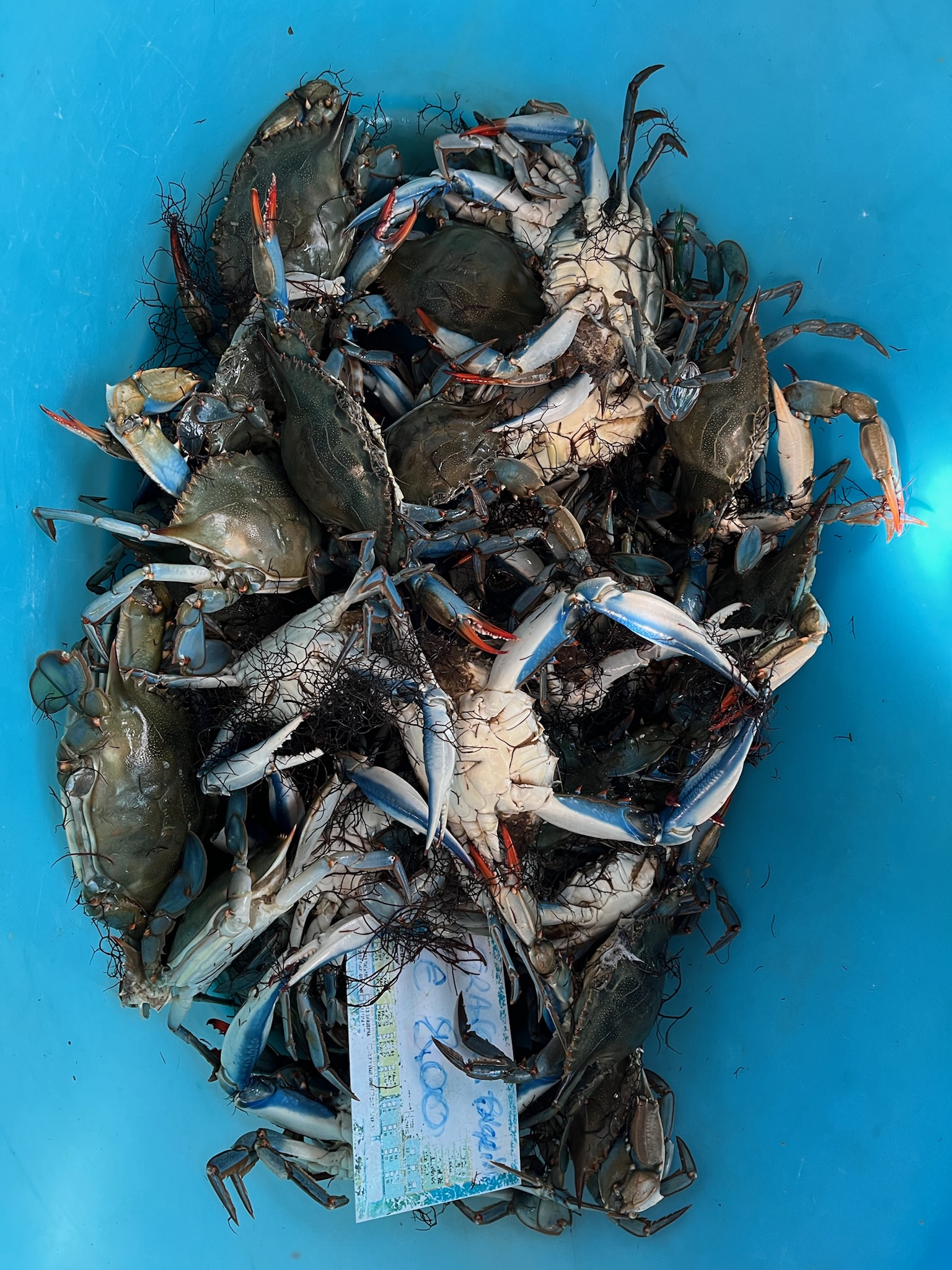
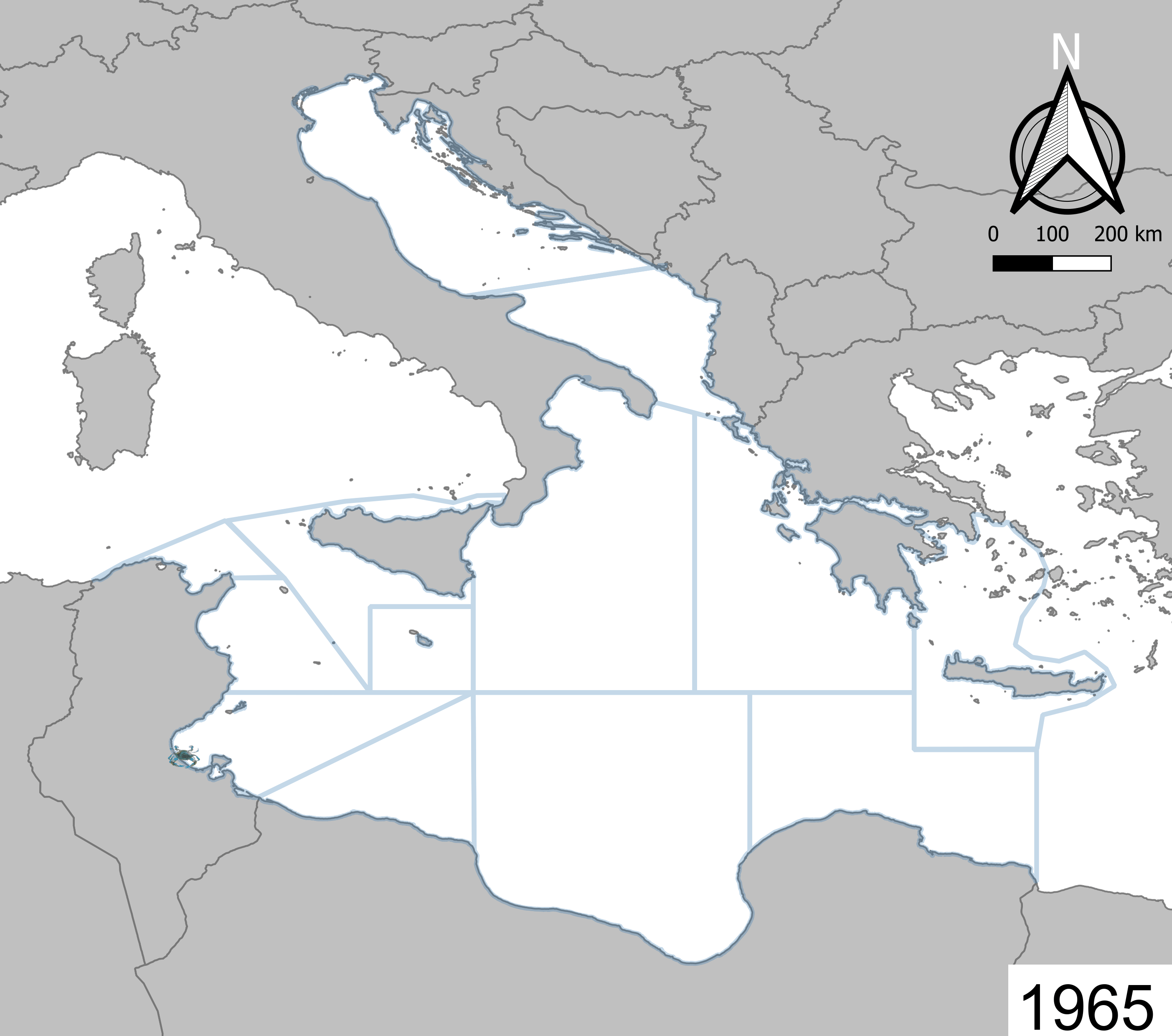
Invasion Records Published from 1965 - 2024 Atlantic blue crab (Callinectes sapidus)
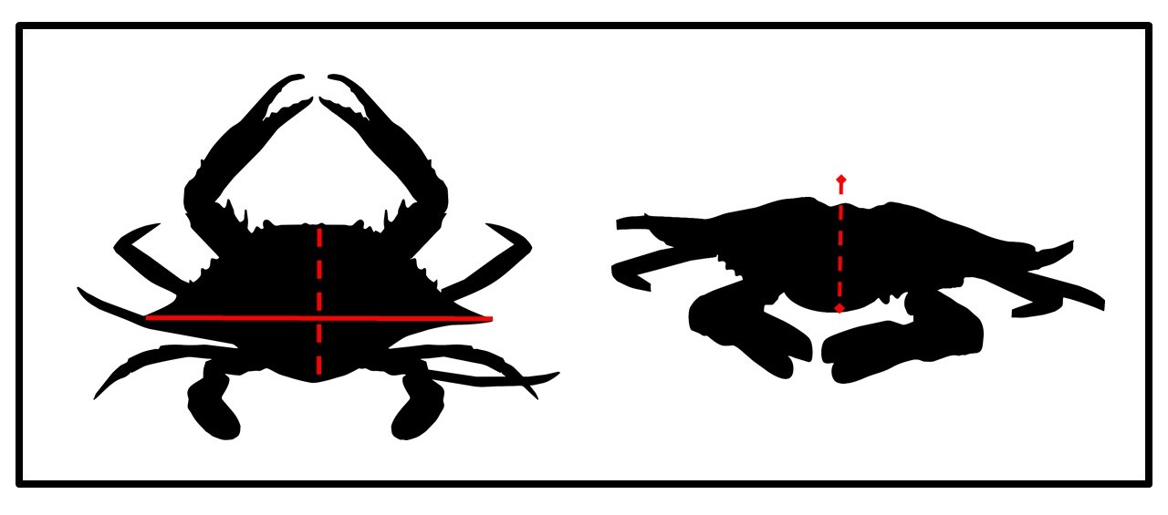
3D Model of the Atlantic blue crab (Callinectes sapidus) morphology, illustrating key features and measurements used in the analysis. The 3D model was made by M. Shauer in Blender 4.4.
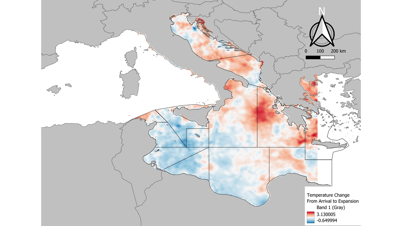
Visualization of the temperature changes depicted. Warming was found to have significant implications for the invasive species dynamics in the region.
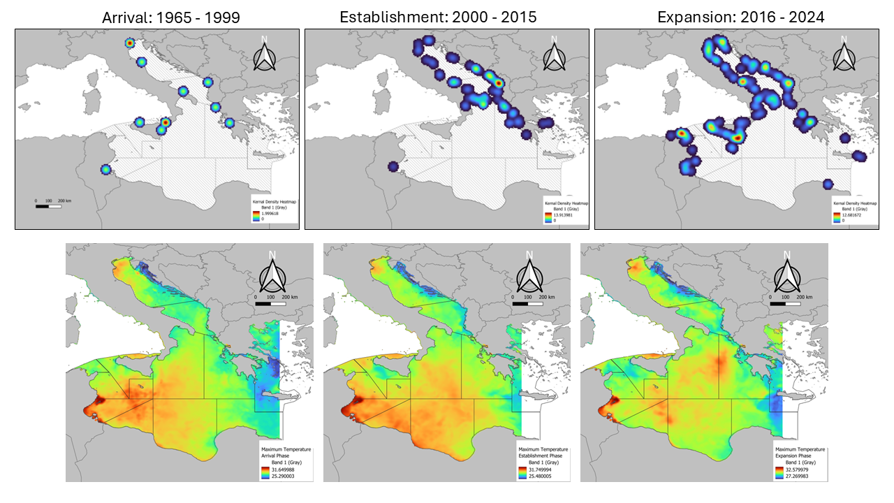
Analysis of identified hotspots, their spatial distribution, and implications for management strategies.